Succor Creek
| Succor Creek | |
 Succor Creek in Malheur County, Oregon | |
| Name origin: Obscure, but possibly for the creek's fresh water, which gave aid (succor) to early travelers south of the Snake River.[1] | |
| Country | United States |
|---|---|
| State | Idaho, Oregon |
| County | Owyhee, Malheur |
| Source | Owyhee Mountains |
| - location | near Johnston Lakes, Owyhee County, Idaho |
| - elevation | 6,976 ft (2,126 m) [2] |
| - coordinates | 43°05′45″N 116°50′18″W / 43.09583°N 116.83833°W [3] |
| Mouth | Snake River |
| - location | near Homedale, Owyhee County, Idaho |
| - elevation | 2,211 ft (674 m) [3] |
| - coordinates | 43°37′55″N 116°56′47″W / 43.63194°N 116.94639°WCoordinates: 43°37′55″N 116°56′47″W / 43.63194°N 116.94639°W [3] |
| Length | 69 mi (111 km) [4] |
| Basin | 494 sq mi (1,279 km2) [5] |
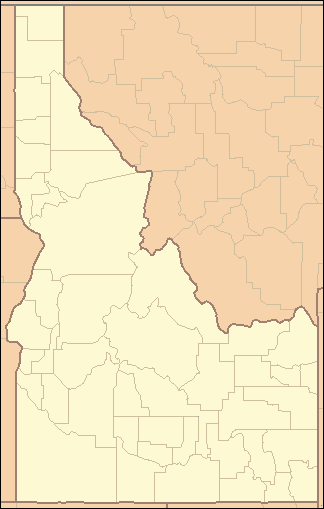  Location of the mouth of Succor Creek in Idaho | |
Succor Creek is a 69.4-mile-long (111.7 km)[4] tributary of the Snake River in the U.S. states of Idaho and Oregon.[3] The creek begins in the Owyhee Mountains in Owyhee County, Idaho.[3] After flowing for about 23 miles (37 km) in Idaho, Succor Creek enters Malheur County, Oregon, where it flows for 39 miles (63 km) before re-entering Idaho for its final 5 miles (8.0 km).[6] It joins the Snake near Homedale, about 413 river miles (665 km) from the larger river's confluence with the Columbia River.[7]
Succor Creek State Natural Area is 30 miles (48 km) south of Nyssa along an unpaved road off Oregon Route 201. It has only primitive camping with no potable water.[8] The canyon in which the natural area is located is known for fossils, geologic formations, and thundereggs, the Oregon state rock.[1]
See also
- List of rivers of Oregon
- List of longest streams of Oregon
- List of rivers of Idaho
- List of longest streams of Idaho
References
- 1 2 McArthur, Lewis A.; Lewis L. McArthur (2003) [1928]. Oregon Geographic Names (7th ed.). Portland: Oregon Historical Society Press. p. 920. ISBN 0-87595-277-1.
- ↑ Source elevation derived from Google Earth search using GNIS source coordinates.
- 1 2 3 4 5 "Succor Creek". Geographic Names Information System. United States Geological Survey (USGS). November 28, 1980. Retrieved March 7, 2011.
- 1 2 U.S. Geological Survey. National Hydrography Dataset high-resolution flowline data. The National Map, accessed May 3, 2011
- ↑ "USGS 13173500 Succor Creek At Mouth Nr Homedale ID". United States Geological Survey. Retrieved August 31, 2010.
- ↑ "National Hydrography Dataset". United States Geological Survey. Retrieved September 3, 2010.
- ↑ United States Geological Survey. "United States Topographic Map: Wilder, Idaho, quadrangle". TopoQuest. Retrieved March 11, 2011.
- ↑ "Succor Creek State Natural Area". Oregon Parks and Recreation Department. Retrieved March 10, 2011.